Optimum Geospatial Ltd offers professional Training & Capacity Development services in Surveying, GIS, Remote Sensing, UAV Mapping, and geospatial technologies designed to build practical skills, improve institutional capability, and strengthen technical performance. Our programs are tailored for government agencies, private companies, NGOs, academic institutions, project teams, and individual professionals seeking relevant, industry-focused expertise.
We deliver training in land surveying principles, total station operations, GNSS/GPS surveying, engineering survey techniques, cadastral workflows, GIS mapping, spatial analysis, database management, web GIS, drone data processing, photogrammetry, remote sensing, and map production. Courses can be structured for beginner, intermediate, or advanced participants depending on experience levels and project needs.
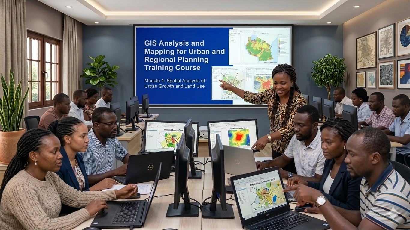
Our approach combines classroom learning, live demonstrations, field practicals, hands-on software sessions, and real project case studies to ensure participants gain applicable skills they can immediately use in the workplace. We also support institutional capacity building through workflow design, mentorship, technical advisory, standard operating procedures, and customized in-house programs.
Training can be delivered on-site, online, or through blended learning formats across Kenya and the wider African region. With strong technical expertise and real-world industry experience, Optimum Geospatial Ltd helps organizations and professionals stay competitive in a rapidly evolving geospatial sector. Whether training a single team or developing long-term organizational capability, we provide practical knowledge that drives performance, accuracy, and growth.