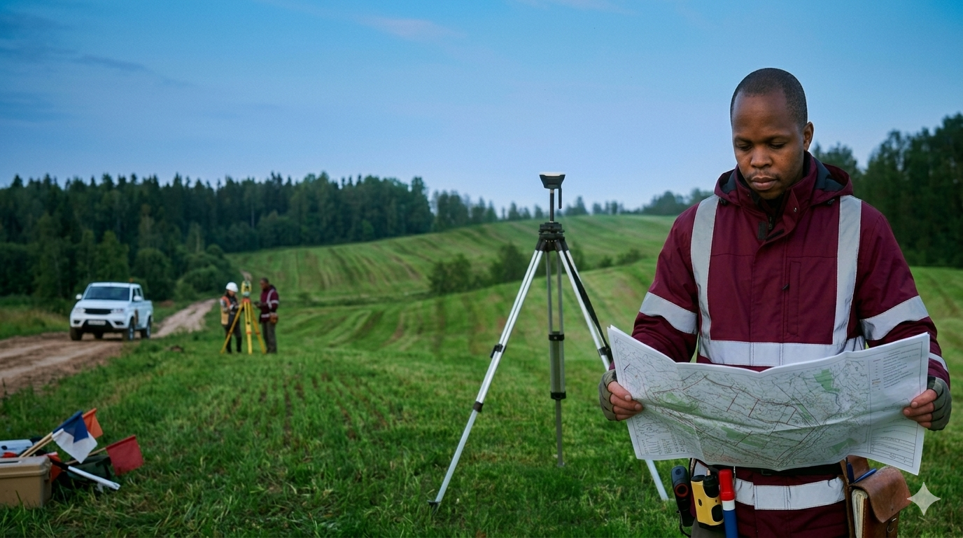
Professional land boundary and ownership surveys for legal and development purposes.
Optimum Geospatial Ltd offers professional Land Surveying services for individuals, developers, institutions, and businesses seeking accurate land information and secure property development. Our services help define boundaries, support land registration, guide construction planning, and ensure confidence in property ownership and land use decisions.
We undertake cadastral surveys, boundary verification, beacon placement and replacement, subdivision surveys, amalgamation, consolidation, mutation surveys, deed plan support, acreage confirmation, and topographic surveys for residential, commercial, agricultural, and industrial land. Using modern GNSS/GPS equipment, total stations, drones, and digital mapping systems, we deliver precise measurements and dependable survey outputs.
Our land surveying solutions are essential for buying or selling land, resolving boundary uncertainties, preparing developments, processing titles, planning estates, and managing large land portfolios. Accurate surveys reduce disputes, prevent encroachment, improve planning efficiency, and provide the spatial certainty required by landowners, investors, and project teams.
With strong technical capability and practical understanding of land administration processes, Optimum Geospatial Ltd delivers reliable services across Kenya and the wider African region. Whether you need a small residential plot surveyed or a large multi-parcel development planned, we provide professional survey solutions tailored to your objectives, timelines, and regulatory requirements. Our focus is accuracy, integrity, and dependable service from start to finish.
Precision surveys supporting infrastructure design, construction and monitoring.
Comprehensive GIS data collection, analysis, visualisation and custom application development.
High-resolution aerial data capture using the latest drone technology.