Comprehensive GIS data collection, analysis, visualisation and custom application development.
Optimum Geospatial Ltd provides advanced Geoinformation Systems (GIS) services that turn geographic data into practical intelligence for planning, operations, and decision-making. We help organizations collect, manage, analyze, visualize, and share spatial information to improve efficiency, reduce risk, and unlock new opportunities.
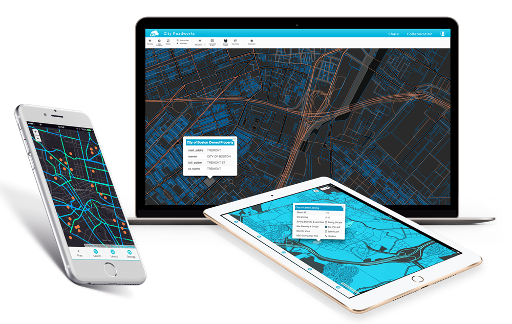
Our GIS solutions support government agencies, utilities, developers, environmental programs, transport projects, agriculture, real estate, NGOs, and private enterprises. Services include digital mapping, spatial database design, web GIS platforms, enterprise GIS deployment, dashboard development, mobile field data collection systems, geospatial analytics, asset management mapping, and custom GIS application development.
We integrate data from surveys, drones, satellite imagery, CAD drawings, IoT sensors, and existing records to create reliable systems that reveal patterns, trends, and relationships. GIS can be used for land management, utility networks, infrastructure planning, route optimization, site selection, environmental monitoring, disaster response, market analysis, and performance reporting.
Our team uses leading technologies such as ArcGIS, QGIS, web mapping frameworks, cloud platforms, and modern databases to deliver scalable and user-friendly solutions. With strong technical expertise and practical industry understanding, Optimum Geospatial Ltd serves clients across Kenya and the wider African region. Whether you need a simple map or a full enterprise GIS, we deliver systems that transform data into confident action.
Professional land boundary and ownership surveys for legal and development purposes.
Precision surveys supporting infrastructure design, construction and monitoring.
High-resolution aerial data capture using the latest drone technology.