Service 01
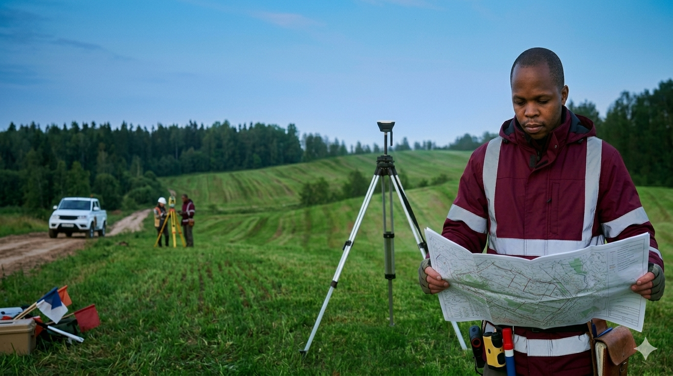
Land Surveying
Professional land boundary and ownership surveys for legal and development purposes.
Key Deliverables
Land sub-division
Boundary confirmation & re-establishment
Ownership transfer, registration & titling
Due diligence services
Key Deliverables
Land sub-division
Boundary confirmation & re-establishment
Ownership transfer, registration & titling
Due diligence services