Highlighted Work
Featured Projects
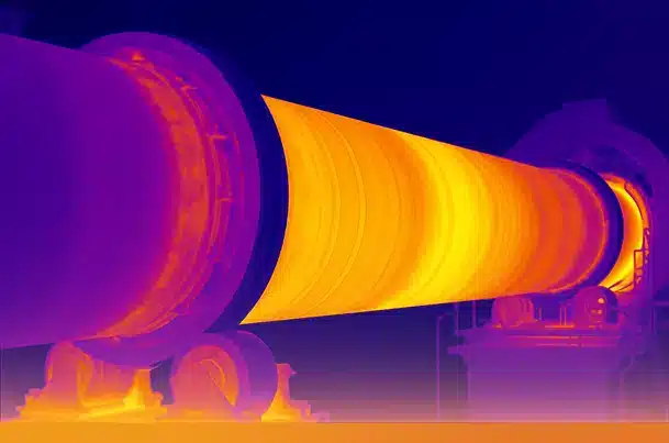
3D Laser / LiDAR Scanning at CIMERWA Cement Factory
RHI Magnesita
3D Laser / LiDAR Scanning of the rotary kiln using the Leica BLK360-G2 scanner for the purposes of monitoring and repairs…
January 2026
View Details
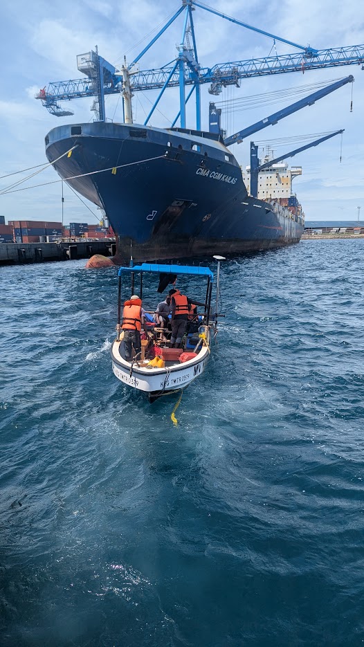
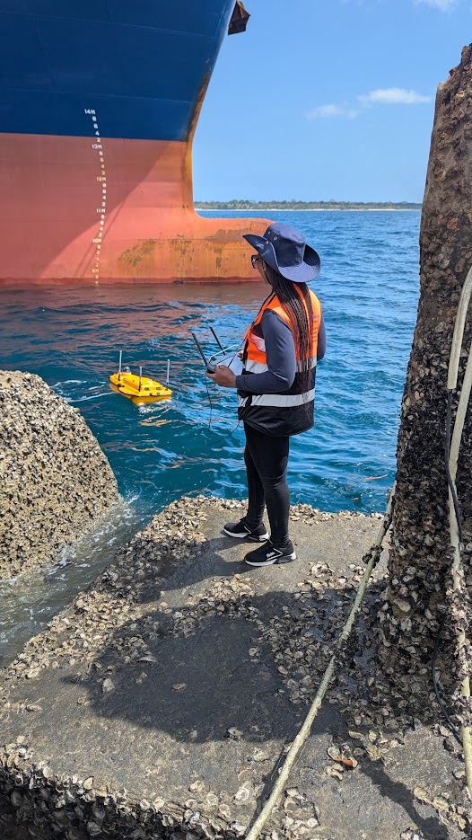
Bathymetric Survey of Mtwara Port and Channel
Tanzania Ports Authority
Multibeam bathymetric survey for the sea port of Mtwara and it's entry channel for the purposes of berth design, dredging, and port expansion…
December 2025
View Details